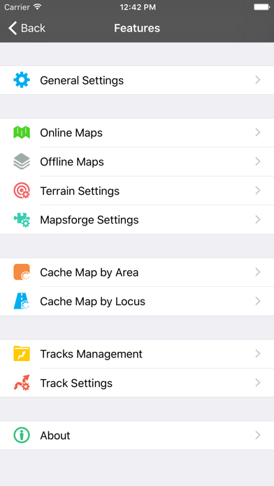
1. FarigMaps is a professional navigation & tracking app designed for outdoor activities.with FarigMaps, you can add contour lines to any map, use Mapsforge offline vector maps, Gps navigation and record track.
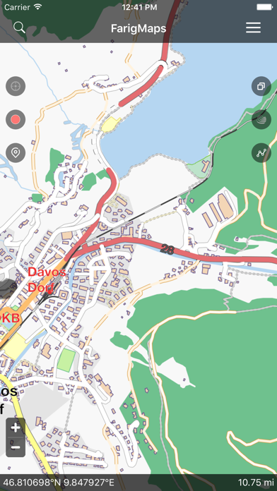
2. You can import your own personal maps into the app.FarigMaps allows you to import Mapsforge offline vector maps and MBTiles files.
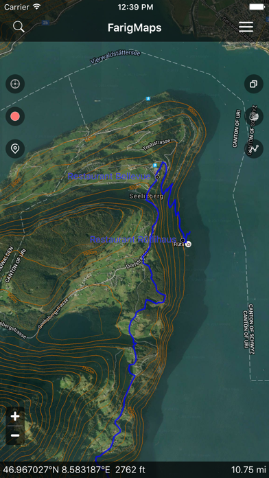
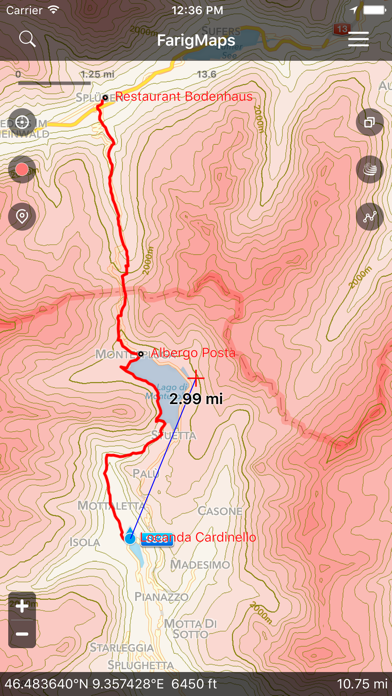
3. By FarigMaps, you can know the distance between your current position and a designated position, can know the altitude of any position on the map which has been added the Contour Interval.
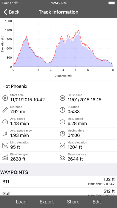
4. With FarigMaps you can record tracks of all your trips or sports training and track the speed and travelled distance.
5. FarigMaps works with GPX/KML/KMZ files, the standard format to store waypoints, tracks and routes.
6. In FarigMaps, just a click can help you add the contour lines to the map.When you don’t need them, you can close the contour layer.
7. FarigMaps is ready to fully replace your handheld GPS navigation and be your everyday assistant in the field.
8. FarigMaps is ready to fully replace your handheld GPS navigation and be your everyday assistant in the field.
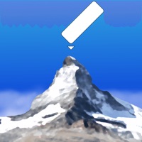
9. The contour lines and terrain rendering give you an accurate representation of the terrain you must cross on your trip.you can also determine the elevation level of any intermediate point on a map from the contour lines that surround it.
10. FarigMaps is the best choice for navigation on your hiking, running, trailing, hunting, sailing, geocaching, off-road trips.
11. Quickly adding the contour interval to any map is the basic idea of FarigMaps.
FarigMaps'ı beğendiyseniz, Navigation gibi uygulamaların keyfini çıkaracaksınız; Driver - AI Cloud Dash Cam; e-POwer; FindShip Pro - Track vessels; Hız Koridoru; GPS Speed Tracker Speedometer; Infocar - OBD2 ELM Scanner; Pars Taksi Yönet; Hoop Family - Find Location; Mph Kph Speedometer Tracker; MapXplorer: GPS, Radar, Route; Touride; Rolling Time Speed Meter Gps; AR AlpineGuide; Speedometer )); EMT Madrid; Water Map Live - Holland; Dublin Buster Lite; Yanosik; MOBİLTEK Takip Sistemleri; Route3D;